+250785442422


We’re here to help! Fill out the form below and a member of the Universal Geospatial Engineering Offer team will get back to you shortly.
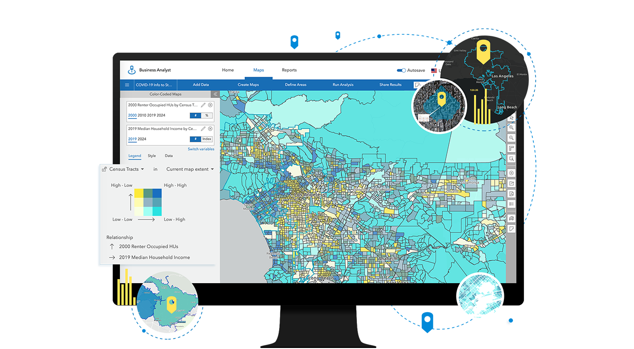
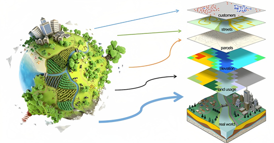
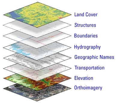
Learn how GIS and our expertise can help you to enhance your work flow